The Shore Road near Jordanstown
Introduction
The photograph on this page of The Shore Road near Jordanstown by Albert Bridge as part of the Geograph project.
The Geograph project started in 2005 with the aim of publishing, organising and preserving representative images for every square kilometre of Great Britain, Ireland and the Isle of Man.

There are currently over 7.5m images from over 14,400 individuals and you can help contribute to the project by visiting https://www.geograph.org.uk
The Shore Road near Jordanstown
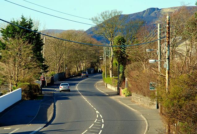
Image: © Albert Bridge Taken: 22 Mar 2008
See Image The road, to the NE of the previous photo, looking towards Belfast. This section of the road is to be dualled and will include a roundabout where I am standing. The land for it was reserved many years ago.
Images are licensed for reuse under creativecommons.org/licenses/by-sa/2.0
Image Location
Latitude
54.688195
Longitude
-5.869925