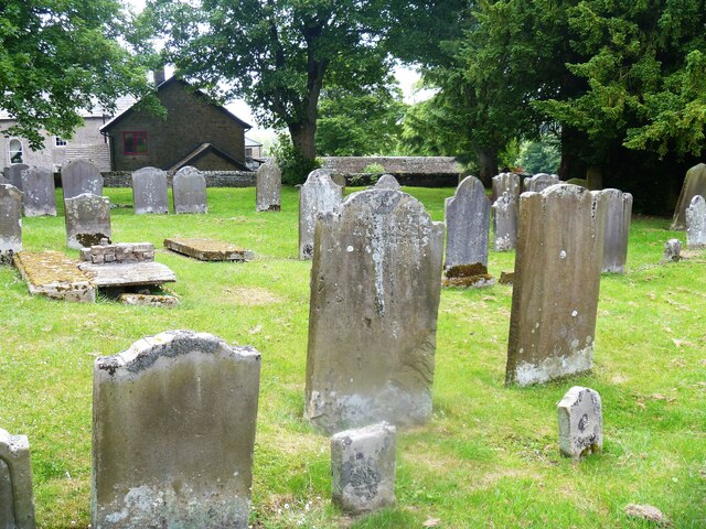
Parish church [8]
Introduction
The photograph on this page of Parish church [8] by Michael Dibb as part of the Geograph project.
The Geograph project started in 2005 with the aim of publishing, organising and preserving representative images for every square kilometre of Great Britain, Ireland and the Isle of Man.
There are currently over 7.5m images from over 14,400 individuals and you can help contribute to the project by visiting https://www.geograph.org.uk

Image: © Michael Dibb Taken: 25 Jun 2022
Part of the churchyard. The Anglican parish church of Saint Giles has a mid 12th century nave, a 13th century chancel, 14th century north and south transepts and a 15th century south porch. The church was heavily restored and a north porch added in 1863. Constructed of coursed sandstone rubble under slate roofs. The church has two fonts. One is a large 12th century stone bowl which sits on a 13th century stem which is believed to have belonged to the other font. The second font is a smaller stone bowl which stands on a base from a Roman altar. Listed, grade II, with details at: https://historicengland.org.uk/listing/the-list/list-entry/1323050 Bowes is a village in County Durham, some 14 miles northwest of Richmond and about 18½ miles due west of Darlington. Set on the north bank of the River Greta, the village was, until by-passed, astride the A66 trunk road. The Romans had a fort here, guarding the Stainmore pass over the Pennines, and their site was reused by the Normans who built a castle. The village grew around the castle, and the name Bowes is first mentioned in a charter of 1148.

