Cattle grid on road to Boustead Hill
Introduction
The photograph on this page of Cattle grid on road to Boustead Hill by Rose and Trev Clough as part of the Geograph project.
The Geograph project started in 2005 with the aim of publishing, organising and preserving representative images for every square kilometre of Great Britain, Ireland and the Isle of Man.

There are currently over 7.5m images from over 14,400 individuals and you can help contribute to the project by visiting https://www.geograph.org.uk
Cattle grid on road to Boustead Hill
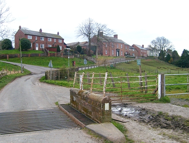
Image: © Rose and Trev Clough Taken: 18 Mar 2008
The turning on the left just up the road is for Image
Images are licensed for reuse under creativecommons.org/licenses/by-sa/2.0
Image Location
Latitude
54.922757
Longitude
-3.10198