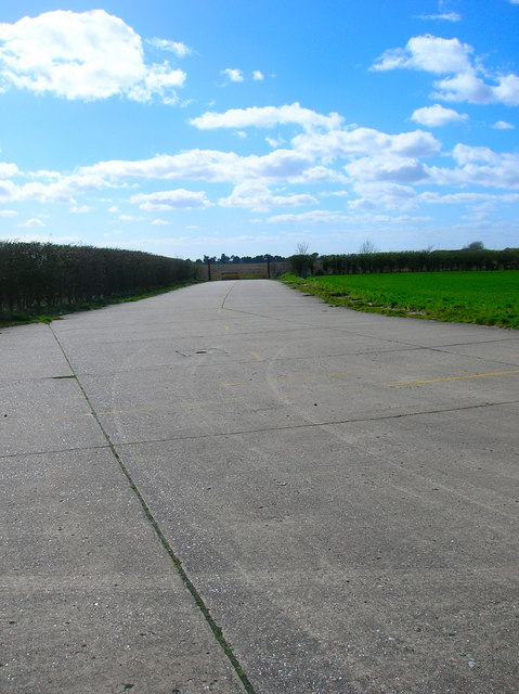
Service Road, Ford Aerodrome
Introduction
The photograph on this page of Service Road, Ford Aerodrome by Simon Carey as part of the Geograph project.
The Geograph project started in 2005 with the aim of publishing, organising and preserving representative images for every square kilometre of Great Britain, Ireland and the Isle of Man.
There are currently over 7.5m images from over 14,400 individuals and you can help contribute to the project by visiting https://www.geograph.org.uk

Image: © Simon Carey Taken: 21 Mar 2008
Linking Yapton Road, the B2233, with the runways and taxi roads. The east-west runway extended across the road which necessitated its closure between 1939 and 1958, traffic from south was diverted via Horsemere Green Lane whilst that from the north found itself in a dead end. This also an alternative access point for the Sunday market though the main entrance is at the other end of the runway.

