Flitch Way, near Great Dunmow
Introduction
The photograph on this page of Flitch Way, near Great Dunmow by Malc McDonald as part of the Geograph project.
The Geograph project started in 2005 with the aim of publishing, organising and preserving representative images for every square kilometre of Great Britain, Ireland and the Isle of Man.

There are currently over 7.5m images from over 14,400 individuals and you can help contribute to the project by visiting https://www.geograph.org.uk
Flitch Way, near Great Dunmow
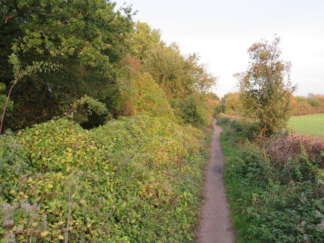
Image: © Malc McDonald Taken: 29 Oct 2022
Much of the Flitch Way follows the course of a dismantled railway line. West of Great Dunmow, however, a busy by-pass road has been built which cuts across the former railway. The Flitch Way therefore diverts off the former railway in order to cross the by-pass. It then runs alongside the railway alignment rather than along it for a short distance, before returning to the railway alignment at Easton Lodge Halt.
Images are licensed for reuse under creativecommons.org/licenses/by-sa/2.0
Image Location
Latitude
51.867722
Longitude
0.330177