Stott's Nursery, Stokenchurch, plant area
Introduction
The photograph on this page of Stott's Nursery, Stokenchurch, plant area by David Hawgood as part of the Geograph project.
The Geograph project started in 2005 with the aim of publishing, organising and preserving representative images for every square kilometre of Great Britain, Ireland and the Isle of Man.

There are currently over 7.5m images from over 14,400 individuals and you can help contribute to the project by visiting https://www.geograph.org.uk
Stott's Nursery, Stokenchurch, plant area
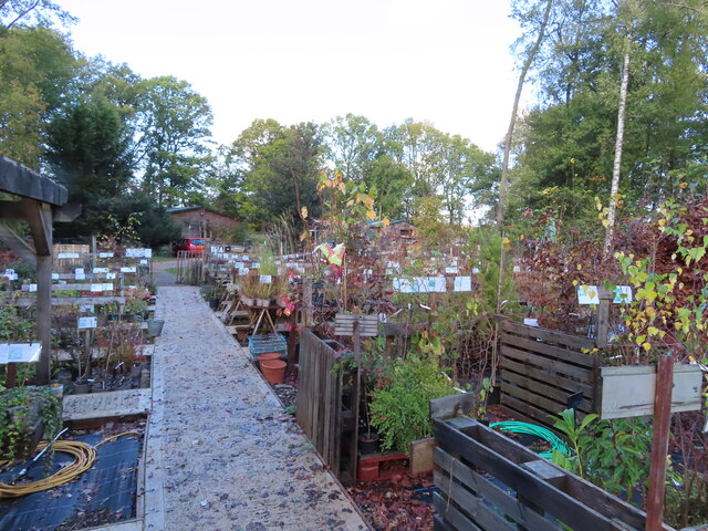
Image: © David Hawgood Taken: 4 Nov 2022
Perennial plants with very helpful labels showing height, spread and cultivation requirements.
Images are licensed for reuse under creativecommons.org/licenses/by-sa/2.0
Image Location
Latitude
51.652527
Longitude
-0.911806