Benchmark on Kirkby Stephen Methodist Church
Introduction
The photograph on this page of Benchmark on Kirkby Stephen Methodist Church by Roger Templeman as part of the Geograph project.
The Geograph project started in 2005 with the aim of publishing, organising and preserving representative images for every square kilometre of Great Britain, Ireland and the Isle of Man.

There are currently over 7.5m images from over 14,400 individuals and you can help contribute to the project by visiting https://www.geograph.org.uk
Benchmark on Kirkby Stephen Methodist Church
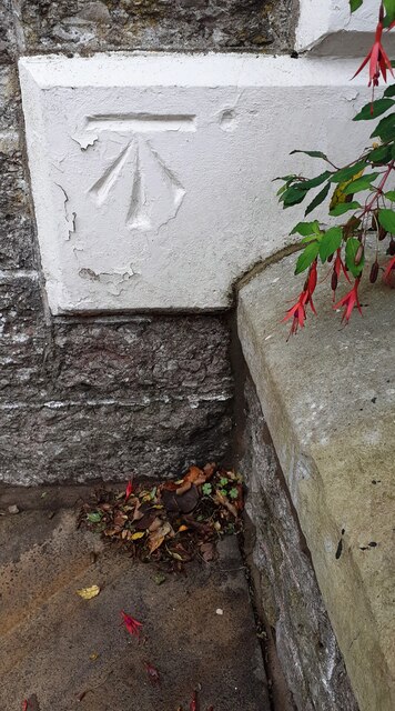
Image: © Roger Templeman Taken: 25 Oct 2022
Ordnance Survey 1GL bolt benchmark on west corner of the church, facing High Street
Images are licensed for reuse under creativecommons.org/licenses/by-sa/2.0
Image Location
Latitude
54.470813
Longitude
-2.34865