Arley Lane, Ansley
Introduction
The photograph on this page of Arley Lane, Ansley by Stephen McKay as part of the Geograph project.
The Geograph project started in 2005 with the aim of publishing, organising and preserving representative images for every square kilometre of Great Britain, Ireland and the Isle of Man.

There are currently over 7.5m images from over 14,400 individuals and you can help contribute to the project by visiting https://www.geograph.org.uk
Arley Lane, Ansley
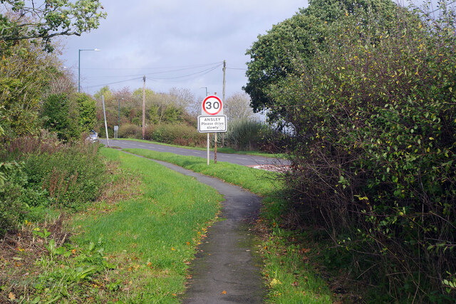
Image: © Stephen McKay Taken: 2 Nov 2022
The footpath and carriageway of Arley Lane are separated by a hedgerow for a distance of about 100 yards to the south of Ansly village. Here they remerge by the 30mph sign.
Images are licensed for reuse under creativecommons.org/licenses/by-sa/2.0
Image Location
Latitude
52.515513
Longitude
-1.555961