Footbridge over the burn
Introduction
The photograph on this page of Footbridge over the burn by Richard Sutcliffe as part of the Geograph project.
The Geograph project started in 2005 with the aim of publishing, organising and preserving representative images for every square kilometre of Great Britain, Ireland and the Isle of Man.

There are currently over 7.5m images from over 14,400 individuals and you can help contribute to the project by visiting https://www.geograph.org.uk
Footbridge over the burn
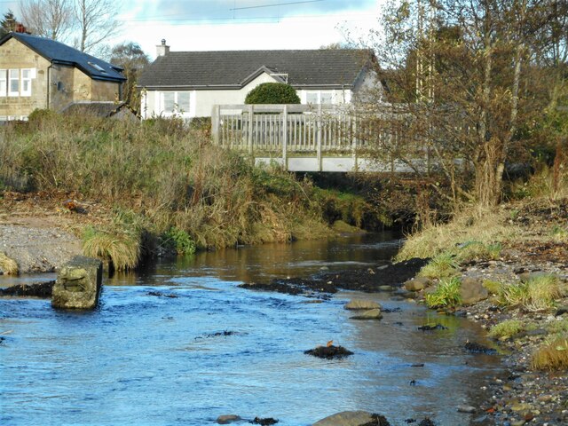
Image: © Richard Sutcliffe Taken: 4 Nov 2022
The bridge carries a footpath that runs alongside the railway line over the Kilmahew Burn (or is it the Cardross Burn? See Image for more information).
Images are licensed for reuse under creativecommons.org/licenses/by-sa/2.0
Image Location
Latitude
55.958375
Longitude
-4.650052