Railway Access Point
Introduction
The photograph on this page of Railway Access Point by Richard Sutcliffe as part of the Geograph project.
The Geograph project started in 2005 with the aim of publishing, organising and preserving representative images for every square kilometre of Great Britain, Ireland and the Isle of Man.

There are currently over 7.5m images from over 14,400 individuals and you can help contribute to the project by visiting https://www.geograph.org.uk
Railway Access Point
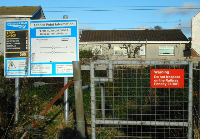
Image: © Richard Sutcliffe Taken: 4 Nov 2022
Location and safety information at a Network Rail access point onto the Glasgow to Helensburgh railway line at Ferry Road, Cardross.
Images are licensed for reuse under creativecommons.org/licenses/by-sa/2.0
Image Location
Latitude
55.956808
Longitude
-4.647702