Embankment near Burnedge Pit site
Introduction
The photograph on this page of Embankment near Burnedge Pit site by Kevin Waterhouse as part of the Geograph project.
The Geograph project started in 2005 with the aim of publishing, organising and preserving representative images for every square kilometre of Great Britain, Ireland and the Isle of Man.

There are currently over 7.5m images from over 14,400 individuals and you can help contribute to the project by visiting https://www.geograph.org.uk
Embankment near Burnedge Pit site
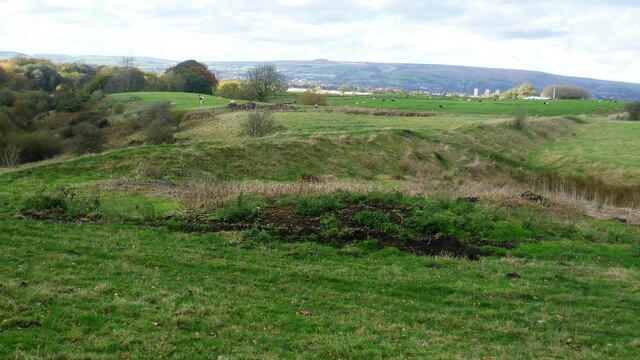
Image: © Kevin Waterhouse Taken: 28 Oct 2022
This embankment built across a small side clough of Sudden Brook appears to be a dam of an old reservoir. Old OS maps do not appear to show this reservoir. There is a path along the embankment from Pit Lane to Burnedge.
Images are licensed for reuse under creativecommons.org/licenses/by-sa/2.0
Image Location
Latitude
53.587595
Longitude
-2.12761