Lenthay Common
Introduction
The photograph on this page of Lenthay Common by Richard Webb as part of the Geograph project.
The Geograph project started in 2005 with the aim of publishing, organising and preserving representative images for every square kilometre of Great Britain, Ireland and the Isle of Man.

There are currently over 7.5m images from over 14,400 individuals and you can help contribute to the project by visiting https://www.geograph.org.uk
Lenthay Common
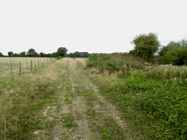
Image: © Richard Webb Taken: 2 Sep 2022
Taken during a mad dash to catch a train from Yeovil Junction. The line through Sherborne had closed due to shrinkage of the clay during a dry spell. The tracks on one embankment had been distorted. The path here (I had taken a wrong turn in Sherborne) had some big cracks in the clay too.
Images are licensed for reuse under creativecommons.org/licenses/by-sa/2.0
Image Location
Latitude
50.937971
Longitude
-2.538339