Farmland, Ruanlanihorne
Introduction
The photograph on this page of Farmland, Ruanlanihorne by Andrew Smith as part of the Geograph project.
The Geograph project started in 2005 with the aim of publishing, organising and preserving representative images for every square kilometre of Great Britain, Ireland and the Isle of Man.

There are currently over 7.5m images from over 14,400 individuals and you can help contribute to the project by visiting https://www.geograph.org.uk
Farmland, Ruanlanihorne
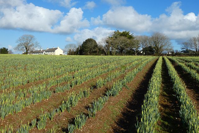
Image: © Andrew Smith Taken: 10 Feb 2022
A footpath to the west of Treworga crosses this field of daffodil, but the crop makes it impractical to follow the exact line.
Images are licensed for reuse under creativecommons.org/licenses/by-sa/2.0
Image Location
Latitude
50.223946
Longitude
-4.950457