Bobbing Primary School
Introduction
The photograph on this page of Bobbing Primary School by Richard Dorrell as part of the Geograph project.
The Geograph project started in 2005 with the aim of publishing, organising and preserving representative images for every square kilometre of Great Britain, Ireland and the Isle of Man.

There are currently over 7.5m images from over 14,400 individuals and you can help contribute to the project by visiting https://www.geograph.org.uk
Bobbing Primary School
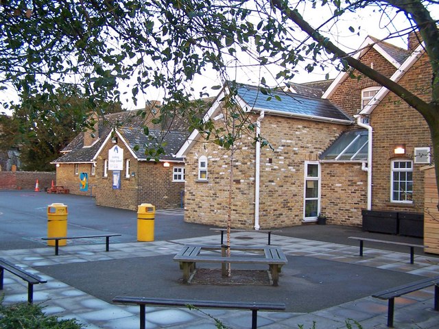
Image: © Richard Dorrell Taken: 21 Mar 2008
The school is located next to the village church, but with little housing in the immediate area. However, the school has recently been expanded, no doubt to accommodate families in the new Meads development a mile or so to the east - a longish walk. Parents are almost certainly transporting children to and from the school by car.
Images are licensed for reuse under creativecommons.org/licenses/by-sa/2.0
Image Location
Latitude
51.353249
Longitude
0.709731