Bloomhill
Introduction
The photograph on this page of Bloomhill by Richard Sutcliffe as part of the Geograph project.
The Geograph project started in 2005 with the aim of publishing, organising and preserving representative images for every square kilometre of Great Britain, Ireland and the Isle of Man.

There are currently over 7.5m images from over 14,400 individuals and you can help contribute to the project by visiting https://www.geograph.org.uk
Bloomhill
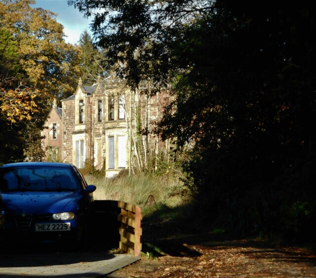
Image: © Richard Sutcliffe Taken: 4 Nov 2022
Seen from the South Lodge. Dating from 1838 with later additions, the Jacobethan villa, together with the lodge and gate piers is Category C listed http://portal.historicenvironment.scot/designation/LB42904. It appears to be empty and boarded up.
Images are licensed for reuse under creativecommons.org/licenses/by-sa/2.0
Image Location
Latitude
55.961298
Longitude
-4.643682