Wetherby, Hallfield Grange
Introduction
The photograph on this page of Wetherby, Hallfield Grange by Mel Towler as part of the Geograph project.
The Geograph project started in 2005 with the aim of publishing, organising and preserving representative images for every square kilometre of Great Britain, Ireland and the Isle of Man.

There are currently over 7.5m images from over 14,400 individuals and you can help contribute to the project by visiting https://www.geograph.org.uk
Wetherby, Hallfield Grange
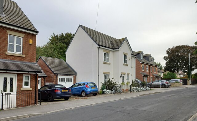
Image: © Mel Towler Taken: 19 Sep 2022
According to the OS benchmark database there was a cut mark on the west facing wall of the vet surgery at Hallfield Grange. The buildings have been demolished with new housing now in place. The benchmark has been destroyed.
Images are licensed for reuse under creativecommons.org/licenses/by-sa/2.0
Image Location


Leaflet Map data © OpenStreetMap
Latitude
53.931465
Longitude
-1.378112