Coleshill Road, Chapel End
Introduction
The photograph on this page of Coleshill Road, Chapel End by Stephen McKay as part of the Geograph project.
The Geograph project started in 2005 with the aim of publishing, organising and preserving representative images for every square kilometre of Great Britain, Ireland and the Isle of Man.

There are currently over 7.5m images from over 14,400 individuals and you can help contribute to the project by visiting https://www.geograph.org.uk
Coleshill Road, Chapel End
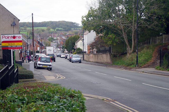
Image: © Stephen McKay Taken: 2 Nov 2022
Coleshill Road leads down from the junction with Bucks Hill and Victoria Road at Chapel End with a distant view of open countryside. This is a stretch of the B4114.
Images are licensed for reuse under creativecommons.org/licenses/by-sa/2.0
Image Location
Latitude
52.537125
Longitude
-1.519179