Mill Head towards the junction with Fore Street
Introduction
The photograph on this page of Mill Head towards the junction with Fore Street by Roger A Smith as part of the Geograph project.
The Geograph project started in 2005 with the aim of publishing, organising and preserving representative images for every square kilometre of Great Britain, Ireland and the Isle of Man.

There are currently over 7.5m images from over 14,400 individuals and you can help contribute to the project by visiting https://www.geograph.org.uk
Mill Head towards the junction with Fore Street
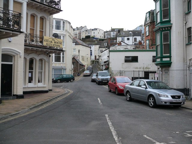
Image: © Roger A Smith Taken: 20 Mar 2008
The old mill is situated on the right of the picture and has a curved wall which is just visible. A stream would have passed under this road on its way to the harbour. I believe this stream has been diverted to Wildersmouth beach via an underground culvert.
Images are licensed for reuse under creativecommons.org/licenses/by-sa/2.0
Image Location
Latitude
51.209929
Longitude
-4.118886