(Possible) Milestone, partially buried
Introduction
The photograph on this page of (Possible) Milestone, partially buried by James Clarke as part of the Geograph project.
The Geograph project started in 2005 with the aim of publishing, organising and preserving representative images for every square kilometre of Great Britain, Ireland and the Isle of Man.

There are currently over 7.5m images from over 14,400 individuals and you can help contribute to the project by visiting https://www.geograph.org.uk
(Possible) Milestone, partially buried
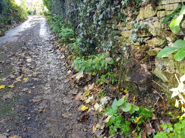
Image: © James Clarke Taken: 3 Nov 2022
On the Old London Road between Gloucester & Cirencester. This Location is one mile from surviving stones in either direction, in Limekiln Lane & Tunley Lane.
Images are licensed for reuse under creativecommons.org/licenses/by-sa/2.0
Image Location
Latitude
51.74095
Longitude
-2.112628