Lagley Meadow
Introduction
The photograph on this page of Lagley Meadow by John Baker as part of the Geograph project.
The Geograph project started in 2005 with the aim of publishing, organising and preserving representative images for every square kilometre of Great Britain, Ireland and the Isle of Man.

There are currently over 7.5m images from over 14,400 individuals and you can help contribute to the project by visiting https://www.geograph.org.uk
Lagley Meadow
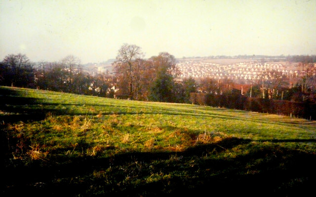
Image: © John Baker Taken: Unknown
There used to be swings and a slide in this recreation ground a few yards from Shrublands Road. The houses, on the far hillside, were built in the early 1960s. Image has been spruced up since this photo was taken.
Images are licensed for reuse under creativecommons.org/licenses/by-sa/2.0
Image Location
Latitude
51.763881
Longitude
-0.578451