Camp Hill Road, Chapel End
Introduction
The photograph on this page of Camp Hill Road, Chapel End by Stephen McKay as part of the Geograph project.
The Geograph project started in 2005 with the aim of publishing, organising and preserving representative images for every square kilometre of Great Britain, Ireland and the Isle of Man.

There are currently over 7.5m images from over 14,400 individuals and you can help contribute to the project by visiting https://www.geograph.org.uk
Camp Hill Road, Chapel End
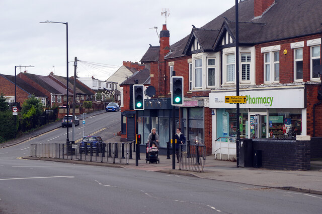
Image: © Stephen McKay Taken: 2 Nov 2022
Chapel End is a fairly drab area of Nuneaton although there are some useful shops here including the Lloyds pharmacy seen here. Victoria Road heads up the hill towards Hartshill.
Images are licensed for reuse under creativecommons.org/licenses/by-sa/2.0
Image Location
Latitude
52.5373
Longitude
-1.518145