Flood plain pasture west of Beckbury in Shropshire
Introduction
The photograph on this page of Flood plain pasture west of Beckbury in Shropshire by Roger Kidd as part of the Geograph project.
The Geograph project started in 2005 with the aim of publishing, organising and preserving representative images for every square kilometre of Great Britain, Ireland and the Isle of Man.

There are currently over 7.5m images from over 14,400 individuals and you can help contribute to the project by visiting https://www.geograph.org.uk
Flood plain pasture west of Beckbury in Shropshire
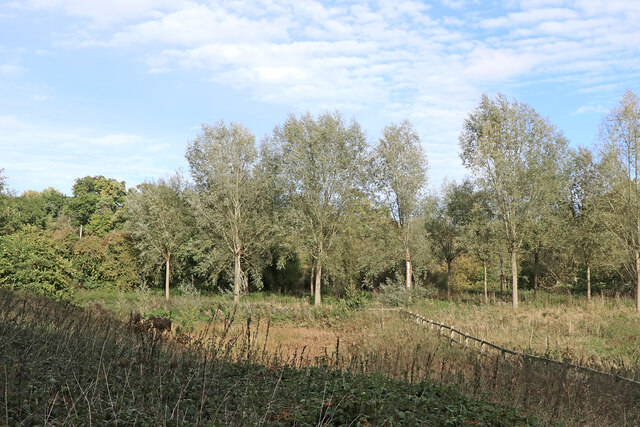
Image: © Roger Kidd Taken: 16 Oct 2022
Looking north-west from the bridleway. Two waterways flow from left to right through this terrain. Mad Brook is just beyond the fence, flowing between the planted willow(?) trees. Further away, by the darker larger trees is the meandering River Worfe. The confluence of these two is about 320 metres off to the right.
Images are licensed for reuse under creativecommons.org/licenses/by-sa/2.0
Image Location
Latitude
52.610644
Longitude
-2.358374