Old milestone
Introduction
The photograph on this page of Old milestone by Chris Minto as part of the Geograph project.
The Geograph project started in 2005 with the aim of publishing, organising and preserving representative images for every square kilometre of Great Britain, Ireland and the Isle of Man.

There are currently over 7.5m images from over 14,400 individuals and you can help contribute to the project by visiting https://www.geograph.org.uk
Old milestone
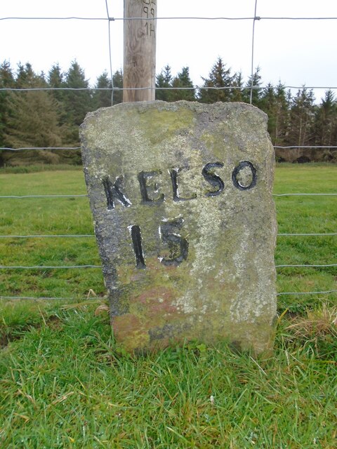
Image: © Chris Minto Taken: 19 Oct 2022
This stone is opposite the northern end of the farm buildings just near the sharp corner. Travelling past this stone westwards leads to what is now the A68 Carter Bar road at Edgerstone. However it is also another way to Towford, Nether Hindhope and Upper Hindhope and the old drovers' route to England.
Images are licensed for reuse under creativecommons.org/licenses/by-sa/2.0
Image Location
Latitude
55.425875
Longitude
-2.38186