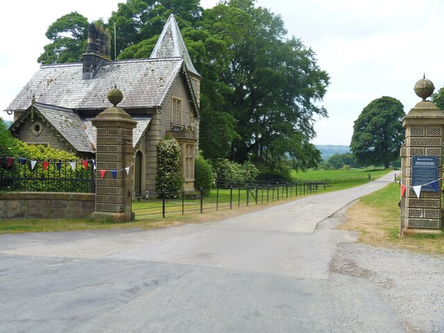
Wensley features [1]
Introduction
The photograph on this page of Wensley features [1] by Michael Dibb as part of the Geograph project.
The Geograph project started in 2005 with the aim of publishing, organising and preserving representative images for every square kilometre of Great Britain, Ireland and the Isle of Man.
There are currently over 7.5m images from over 14,400 individuals and you can help contribute to the project by visiting https://www.geograph.org.uk

Image: © Michael Dibb Taken: 24 Jun 2022
The gate piers, walls and railings at the entrance to Bolton Hall. Constructed in the early 19th century of ashlar with wrought iron gates and railings. Plain ashlar walls with coping, curved on plan, supporting wrought-iron railings. Listed, grade II, with details at: https://historicengland.org.uk/listing/the-list/list-entry/1130878 Wensley is a small village in the Richmondshire district of North Yorkshire, some 1½ miles southwest of Leyburn. It is sited on the north bank of the River Ure, where the river is crossed by a 15th century bridge. Wensley once had the only market in the dale, its charter being granted in 1318. The village was very badly hit by the plague in 1563 and many of the surviving villagers fled to nearby Leyburn.

