Brick End, near Great Dunmow
Introduction
The photograph on this page of Brick End, near Great Dunmow by Malc McDonald as part of the Geograph project.
The Geograph project started in 2005 with the aim of publishing, organising and preserving representative images for every square kilometre of Great Britain, Ireland and the Isle of Man.

There are currently over 7.5m images from over 14,400 individuals and you can help contribute to the project by visiting https://www.geograph.org.uk
Brick End, near Great Dunmow
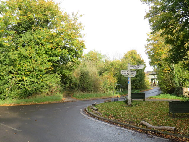
Image: © Malc McDonald Taken: 29 Oct 2022
A junction of minor roads in the hamlet of Brick End in north Essex. A traditional wooden signpost stands at the roadside. A small blue sign attached to the signpost indicates a route signposted for cycling, towards National Cycle Network route 16. This location is not on the National Cycle Network, however.
Images are licensed for reuse under creativecommons.org/licenses/by-sa/2.0
Image Location
Latitude
51.909366
Longitude
0.283915