Former St Mary's vicarage
Introduction
The photograph on this page of Former St Mary's vicarage by Stephen Craven as part of the Geograph project.
The Geograph project started in 2005 with the aim of publishing, organising and preserving representative images for every square kilometre of Great Britain, Ireland and the Isle of Man.

There are currently over 7.5m images from over 14,400 individuals and you can help contribute to the project by visiting https://www.geograph.org.uk
Former St Mary's vicarage
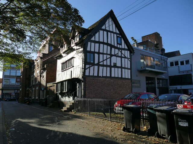
Image: © Stephen Craven Taken: 17 Oct 2022
The 16th century house is listed grade II (list entry 1270602) where it is described as a former vicarage.
Images are licensed for reuse under creativecommons.org/licenses/by-sa/2.0
Image Location
Latitude
52.708858
Longitude
-2.751707