Path by Faversham Creek
Introduction
The photograph on this page of Path by Faversham Creek by pam fray as part of the Geograph project.
The Geograph project started in 2005 with the aim of publishing, organising and preserving representative images for every square kilometre of Great Britain, Ireland and the Isle of Man.

There are currently over 7.5m images from over 14,400 individuals and you can help contribute to the project by visiting https://www.geograph.org.uk
Path by Faversham Creek
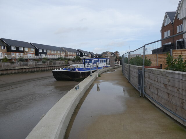
Image: © pam fray Taken: 2 Nov 2022
New path extension running between Standard Quay and Provender Walk. This is still incomplete as it is still sealed off at the Provender Walk end.
Images are licensed for reuse under creativecommons.org/licenses/by-sa/2.0
Image Location
Latitude
51.32057
Longitude
0.895119