Field gateway on NE side of road NW of Aglionby
Introduction
The photograph on this page of Field gateway on NE side of road NW of Aglionby by Roger Templeman as part of the Geograph project.
The Geograph project started in 2005 with the aim of publishing, organising and preserving representative images for every square kilometre of Great Britain, Ireland and the Isle of Man.

There are currently over 7.5m images from over 14,400 individuals and you can help contribute to the project by visiting https://www.geograph.org.uk
Field gateway on NE side of road NW of Aglionby
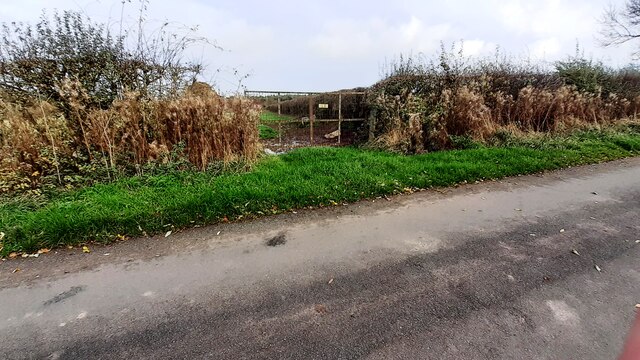
Image: © Roger Templeman Taken: 1 Nov 2022
Ordnance Survey records indicate that a benchmark levelled at 25.620m above Newlyn Datum was verified in 1972 on a gatepost at the right hand side of the gateway
Images are licensed for reuse under creativecommons.org/licenses/by-sa/2.0
Image Location
Latitude
54.904567
Longitude
-2.861928