Centre of Lynemouth
Introduction
The photograph on this page of Centre of Lynemouth by Chris Morgan as part of the Geograph project.
The Geograph project started in 2005 with the aim of publishing, organising and preserving representative images for every square kilometre of Great Britain, Ireland and the Isle of Man.

There are currently over 7.5m images from over 14,400 individuals and you can help contribute to the project by visiting https://www.geograph.org.uk
Centre of Lynemouth
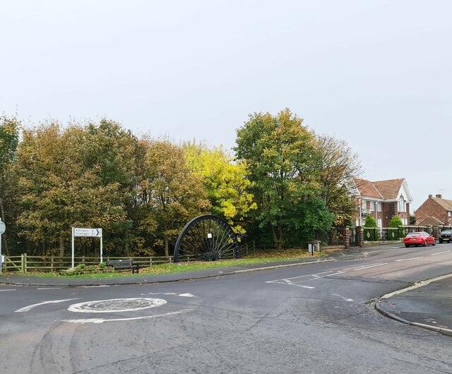
Image: © Chris Morgan Taken: 29 Oct 2022
The old winding wheel on the site of the old colliery railway that crossed the road here beside the Miners Institute built in 1925 ready for the miners at the new pit - not opened until 1927 after the 1926 General Strike.
Images are licensed for reuse under creativecommons.org/licenses/by-sa/2.0
Image Location
Latitude
55.211467
Longitude
-1.537477