Primrose Gardens
Introduction
The photograph on this page of Primrose Gardens by Ian Capper as part of the Geograph project.
The Geograph project started in 2005 with the aim of publishing, organising and preserving representative images for every square kilometre of Great Britain, Ireland and the Isle of Man.

There are currently over 7.5m images from over 14,400 individuals and you can help contribute to the project by visiting https://www.geograph.org.uk
Primrose Gardens
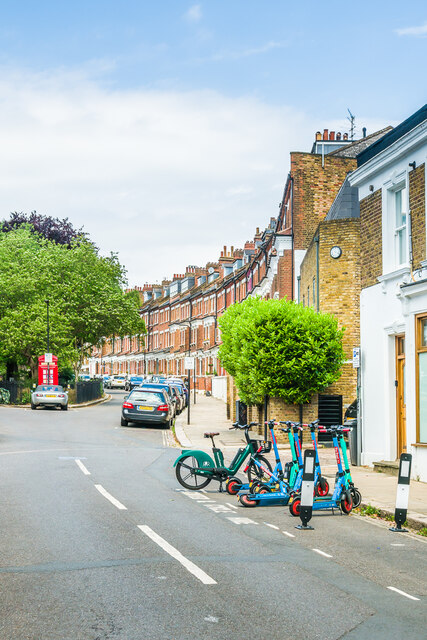
Image: © Ian Capper Taken: 4 Jun 2022
A road off England's Lane consisting of late 19th Century tall terraced housing either side of a long central garden with a K2 telephone box at each end (one of which can be seen on the left of this photo). On the 1915 25 inch map the road was named Stanley Gardens, the current name first appearing on the 1954 National Grid map.
Images are licensed for reuse under creativecommons.org/licenses/by-sa/2.0
Image Location
Latitude
51.546385
Longitude
-0.162166