Clay mining earthworks, Flatts Lane Woodland Country Park
Introduction
The photograph on this page of Clay mining earthworks, Flatts Lane Woodland Country Park by Humphrey Bolton as part of the Geograph project.
The Geograph project started in 2005 with the aim of publishing, organising and preserving representative images for every square kilometre of Great Britain, Ireland and the Isle of Man.

There are currently over 7.5m images from over 14,400 individuals and you can help contribute to the project by visiting https://www.geograph.org.uk
Clay mining earthworks, Flatts Lane Woodland Country Park
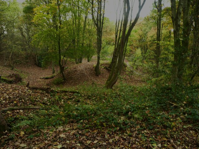
Image: © Humphrey Bolton Taken: 27 Oct 2022
The land in the park was originally owned by a brickworks.
Images are licensed for reuse under creativecommons.org/licenses/by-sa/2.0
Image Location
Latitude
54.541357
Longitude
-1.156037