Gully flowing from Boxer's Lake, Enfield
Introduction
The photograph on this page of Gully flowing from Boxer's Lake, Enfield by Christine Matthews as part of the Geograph project.
The Geograph project started in 2005 with the aim of publishing, organising and preserving representative images for every square kilometre of Great Britain, Ireland and the Isle of Man.

There are currently over 7.5m images from over 14,400 individuals and you can help contribute to the project by visiting https://www.geograph.org.uk
Gully flowing from Boxer's Lake, Enfield
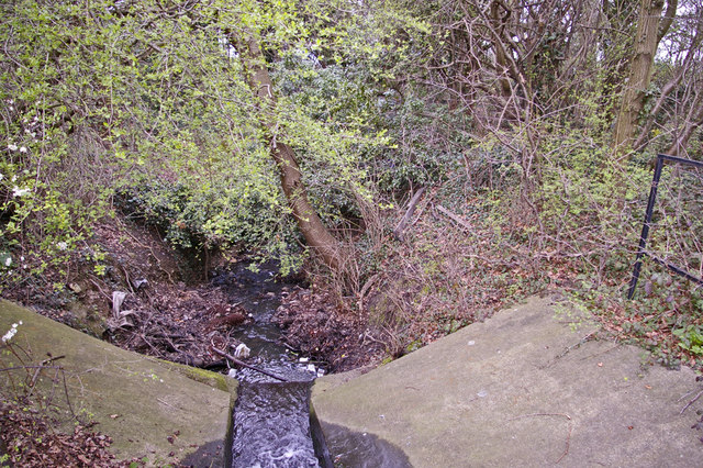
Image: © Christine Matthews Taken: 19 Mar 2008
Here we have the view from the bridge over the gully leading from Boxer's Lake. This stream eventually joins up with Salmon's Brook.
Images are licensed for reuse under creativecommons.org/licenses/by-sa/2.0
Image Location


Leaflet Map data © OpenStreetMap
Latitude
51.650671
Longitude
-0.112344