Public footpath?
Introduction
The photograph on this page of Public footpath? by Alan Hughes as part of the Geograph project.
The Geograph project started in 2005 with the aim of publishing, organising and preserving representative images for every square kilometre of Great Britain, Ireland and the Isle of Man.

There are currently over 7.5m images from over 14,400 individuals and you can help contribute to the project by visiting https://www.geograph.org.uk
Public footpath?
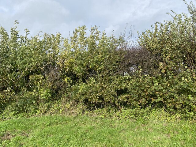
Image: © Alan Hughes Taken: 25 Oct 2022
A path leading to Tirbwcci is marked on OS maps but there is no sign of it here - just a continuous hedge. I have raised this with the public footpaths department of Carmarthenshire Council but they do not have a good track record for keeping blocked paths open. Update: “as this path is currently categorised as a low-priority route, the matter will be dealt with once higher priority issues have been resolved.” How long does it take to send a letter to the landowner reminding him of his statutory obligations?
Images are licensed for reuse under creativecommons.org/licenses/by-sa/2.0
Image Location
Latitude
51.833957
Longitude
-4.238316