A1(M) at Bramham
Introduction
The photograph on this page of A1(M) at Bramham by Gordon Hatton as part of the Geograph project.
The Geograph project started in 2005 with the aim of publishing, organising and preserving representative images for every square kilometre of Great Britain, Ireland and the Isle of Man.

There are currently over 7.5m images from over 14,400 individuals and you can help contribute to the project by visiting https://www.geograph.org.uk
A1(M) at Bramham
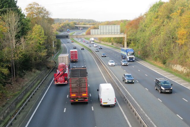
Image: © Gordon Hatton Taken: 31 Oct 2022
The view from an overbridge looking north along the motorway. I last photographed this view in early 2008 when the road was still just the A1, but comparing the two photos there is very little that is different unless one looks very closely. Barriers and overhead gantry look the same, but the older photo does show a slip road on the left just before the gentle right hand bend. This has now gone and there is no exit from the motorway until the A659 [junction 45] around 2 miles further north.
Images are licensed for reuse under creativecommons.org/licenses/by-sa/2.0
Image Location


Leaflet Map data © OpenStreetMap
Latitude
53.877238
Longitude
-1.355492