Cound Brook from Boreton Bridge
Introduction
The photograph on this page of Cound Brook from Boreton Bridge by Andrew Abbott as part of the Geograph project.
The Geograph project started in 2005 with the aim of publishing, organising and preserving representative images for every square kilometre of Great Britain, Ireland and the Isle of Man.

There are currently over 7.5m images from over 14,400 individuals and you can help contribute to the project by visiting https://www.geograph.org.uk
Cound Brook from Boreton Bridge
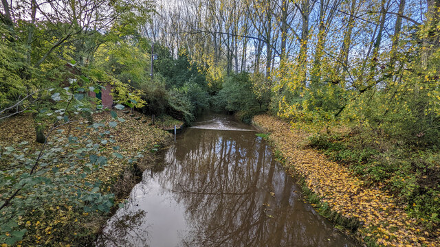
Image: © Andrew Abbott Taken: 1 Nov 2022
A view of Cound Brook and an Environment Agency station from Boreton Bridge. There are notices currently up expressing concerns about White Clawed Crayfish in the habitat. I believe water depth was at around 0.2 m but I couldn't see clearly.
Images are licensed for reuse under creativecommons.org/licenses/by-sa/2.0
Image Location
Latitude
52.656575
Longitude
-2.716511