Village of Lee and its Victorian Transformation
Introduction
The photograph on this page of Village of Lee and its Victorian Transformation by David Martin as part of the Geograph project.
The Geograph project started in 2005 with the aim of publishing, organising and preserving representative images for every square kilometre of Great Britain, Ireland and the Isle of Man.

There are currently over 7.5m images from over 14,400 individuals and you can help contribute to the project by visiting https://www.geograph.org.uk
Village of Lee and its Victorian Transformation
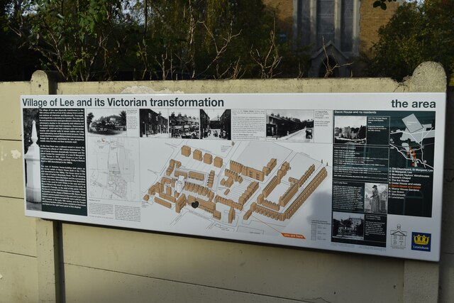
Image: © David Martin Taken: 29 Oct 2022
An excellent information board describing the Victorian transformation of Lee, primarily driven by the arrival of the railways.
Images are licensed for reuse under creativecommons.org/licenses/by-sa/2.0
Image Location
Latitude
51.461083
Longitude
0.003051