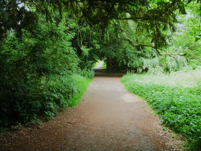
A circular walk from Leyburn via Wensley village [10]
Introduction
The photograph on this page of A circular walk from Leyburn via Wensley village [10] by Michael Dibb as part of the Geograph project.
The Geograph project started in 2005 with the aim of publishing, organising and preserving representative images for every square kilometre of Great Britain, Ireland and the Isle of Man.
There are currently over 7.5m images from over 14,400 individuals and you can help contribute to the project by visiting https://www.geograph.org.uk

Image: © Michael Dibb Taken: 24 Jun 2022
After running alongside the woodland for some distance, the path now enters Leyburn Shawl Plantation. From Leyburn the route runs west along the ridge of Leyburn Shawl before descending to Tullis Cote and, after crossing the railway, heading southeast toward the village of Wensley. After passing through Wensley the route is northeast across fields and, after recrossing the railway, returning to the starting point. About 5½ miles.

