Stone Lane east of Parbrook
Introduction
The photograph on this page of Stone Lane east of Parbrook by Brian Robert Marshall as part of the Geograph project.
The Geograph project started in 2005 with the aim of publishing, organising and preserving representative images for every square kilometre of Great Britain, Ireland and the Isle of Man.

There are currently over 7.5m images from over 14,400 individuals and you can help contribute to the project by visiting https://www.geograph.org.uk
Stone Lane east of Parbrook
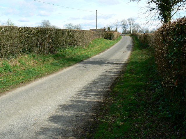
Image: © Brian Robert Marshall Taken: 19 Mar 2008
In this direction Stone Lane leads to Stone Farm, Stone House Farm and Stone before reaching the A37.
Images are licensed for reuse under creativecommons.org/licenses/by-sa/2.0
Image Location
Latitude
51.125103
Longitude
-2.61096