Knaresborough, High Bond End
Introduction
The photograph on this page of Knaresborough, High Bond End by Mel Towler as part of the Geograph project.
The Geograph project started in 2005 with the aim of publishing, organising and preserving representative images for every square kilometre of Great Britain, Ireland and the Isle of Man.

There are currently over 7.5m images from over 14,400 individuals and you can help contribute to the project by visiting https://www.geograph.org.uk
Knaresborough, High Bond End
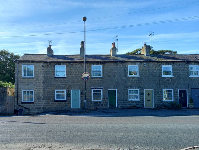
Image: © Mel Towler Taken: 13 Sep 2022
There is a benchmark cut into the north facing wall of this terrace. On the left is an extension and the cutmark can be found immediately to the right of the extension.
Images are licensed for reuse under creativecommons.org/licenses/by-sa/2.0
Image Location
Latitude
54.013621
Longitude
-1.473944