Forest Hall Road, Stansted Mountfitchet
Introduction
The photograph on this page of Forest Hall Road, Stansted Mountfitchet by Malc McDonald as part of the Geograph project.
The Geograph project started in 2005 with the aim of publishing, organising and preserving representative images for every square kilometre of Great Britain, Ireland and the Isle of Man.

There are currently over 7.5m images from over 14,400 individuals and you can help contribute to the project by visiting https://www.geograph.org.uk
Forest Hall Road, Stansted Mountfitchet
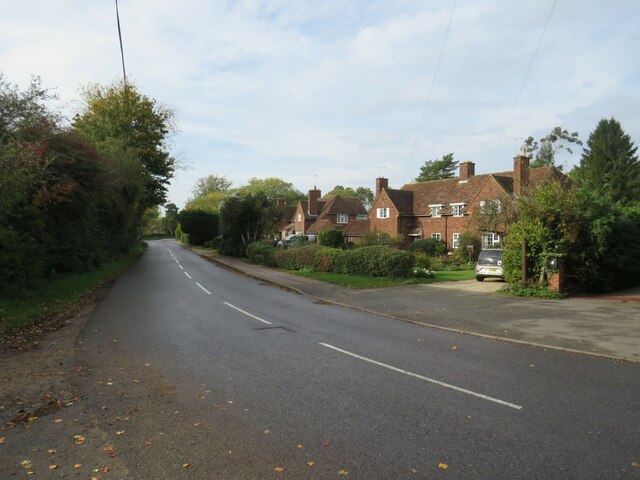
Image: © Malc McDonald Taken: 29 Oct 2022
Forest Hall Road on the edge of the village of Stansted Mountfitchet in north Essex. This road straddles two Ordnance Survey gridsquares. The left-hand side of the road is in square TL5123, but the right-hand side and the houses are in TL5124.
Images are licensed for reuse under creativecommons.org/licenses/by-sa/2.0
Image Location
Latitude
51.893784
Longitude
0.205075