Stone Lane, Parbrook
Introduction
The photograph on this page of Stone Lane, Parbrook by Brian Robert Marshall as part of the Geograph project.
The Geograph project started in 2005 with the aim of publishing, organising and preserving representative images for every square kilometre of Great Britain, Ireland and the Isle of Man.

There are currently over 7.5m images from over 14,400 individuals and you can help contribute to the project by visiting https://www.geograph.org.uk
Stone Lane, Parbrook
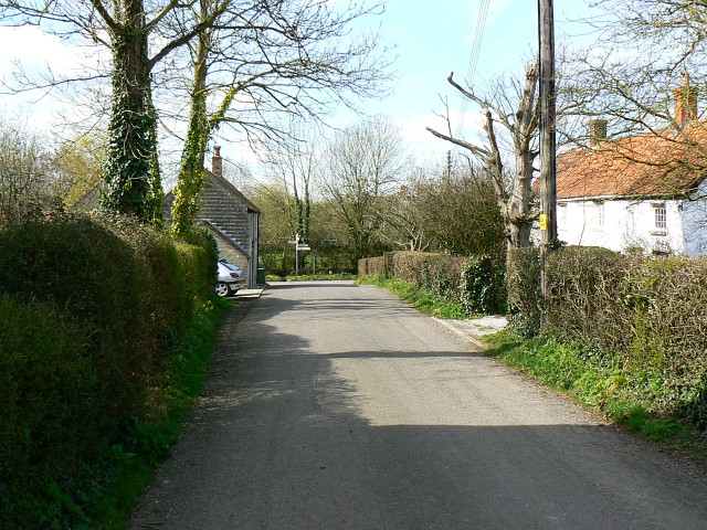
Image: © Brian Robert Marshall Taken: 19 Mar 2008
The view is to the west towards the junction of Stone Lane with School Lane in the centre of the image.
Images are licensed for reuse under creativecommons.org/licenses/by-sa/2.0
Image Location


Leaflet Map data © OpenStreetMap
Latitude
51.126506
Longitude
-2.617837