Chambers Lane
Introduction
The photograph on this page of Chambers Lane by John Baker as part of the Geograph project.
The Geograph project started in 2005 with the aim of publishing, organising and preserving representative images for every square kilometre of Great Britain, Ireland and the Isle of Man.

There are currently over 7.5m images from over 14,400 individuals and you can help contribute to the project by visiting https://www.geograph.org.uk
Chambers Lane
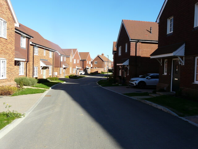
Image: © John Baker Taken: 9 Oct 2022
Part of a housing estate called Kingsmead, on which 196 houses are to be built. This view of Image shows a bend, while this is the view beyond it after crossing Burbidge Fields.
Images are licensed for reuse under creativecommons.org/licenses/by-sa/2.0
Image Location
Latitude
51.311223
Longitude
0.909312