Housing on Bellevue Farm Road, Woodgate, Pease Pottage
Introduction
The photograph on this page of Housing on Bellevue Farm Road, Woodgate, Pease Pottage by Robin Webster as part of the Geograph project.
The Geograph project started in 2005 with the aim of publishing, organising and preserving representative images for every square kilometre of Great Britain, Ireland and the Isle of Man.

There are currently over 7.5m images from over 14,400 individuals and you can help contribute to the project by visiting https://www.geograph.org.uk
Housing on Bellevue Farm Road, Woodgate, Pease Pottage
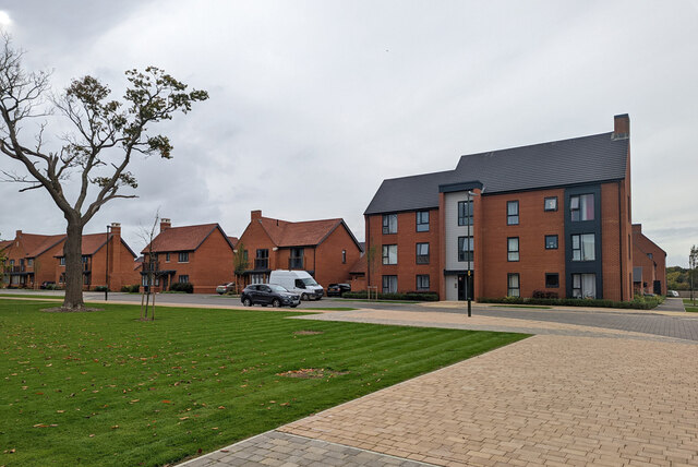
Image: © Robin Webster Taken: 16 Oct 2022
The road is named after the original name of the farm razed by this new development. Latterly and for several years it was called Hardriding Farm.
Images are licensed for reuse under creativecommons.org/licenses/by-sa/2.0
Image Location
Latitude
51.084971
Longitude
-0.194149