Cycleway past Ditherington Flaxmill and Maltings
Introduction
The photograph on this page of Cycleway past Ditherington Flaxmill and Maltings by Stephen Craven as part of the Geograph project.
The Geograph project started in 2005 with the aim of publishing, organising and preserving representative images for every square kilometre of Great Britain, Ireland and the Isle of Man.

There are currently over 7.5m images from over 14,400 individuals and you can help contribute to the project by visiting https://www.geograph.org.uk
Cycleway past Ditherington Flaxmill and Maltings
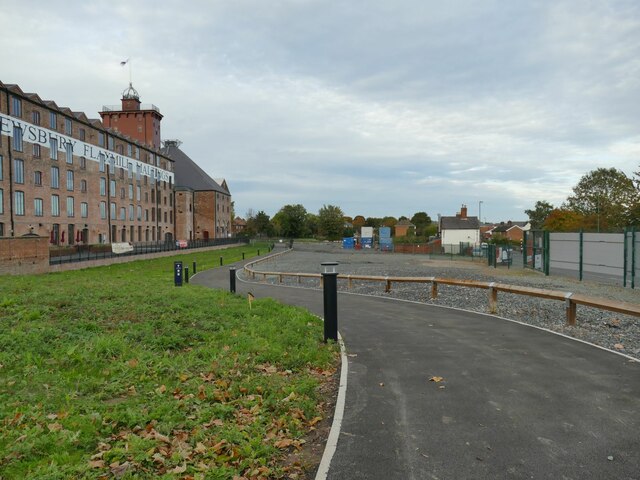
Image: © Stephen Craven Taken: 16 Oct 2022
The cycleway roughly follows the line of the former Shrewsbury Canal. See Image for more details of the old mill buildings.
Images are licensed for reuse under creativecommons.org/licenses/by-sa/2.0
Image Location
Latitude
52.719158
Longitude
-2.743593