Rochester Close
Introduction
The photograph on this page of Rochester Close by Des Blenkinsopp as part of the Geograph project.
The Geograph project started in 2005 with the aim of publishing, organising and preserving representative images for every square kilometre of Great Britain, Ireland and the Isle of Man.

There are currently over 7.5m images from over 14,400 individuals and you can help contribute to the project by visiting https://www.geograph.org.uk
Rochester Close
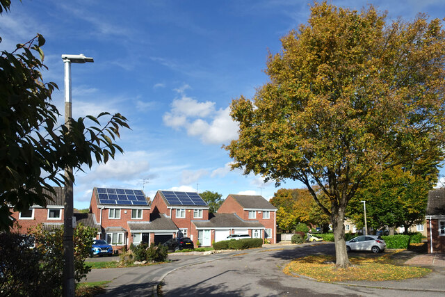
Image: © Des Blenkinsopp Taken: 17 Oct 2022
This area is a maze of short, residential cul de sacs with connecting footpaths. It's not hard to lose track of just where you are.
Images are licensed for reuse under creativecommons.org/licenses/by-sa/2.0
Image Location
Latitude
51.552967
Longitude
-1.831925