Wain House Field/Wood Field
Introduction
The photograph on this page of Wain House Field/Wood Field by Simon Carey as part of the Geograph project.
The Geograph project started in 2005 with the aim of publishing, organising and preserving representative images for every square kilometre of Great Britain, Ireland and the Isle of Man.

There are currently over 7.5m images from over 14,400 individuals and you can help contribute to the project by visiting https://www.geograph.org.uk
Wain House Field/Wood Field
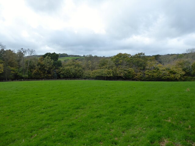
Image: © Simon Carey Taken: 26 Oct 2022
The name of the fields according to Warbleton's 1838 tithe map that have been merged. Wain House Field was in the foreground to the immediate south of Grovelye Farm whilst Wood Field was to the west further down the slope.
Images are licensed for reuse under creativecommons.org/licenses/by-sa/2.0
Image Location
Latitude
50.938737
Longitude
0.338223