Long Field
Introduction
The photograph on this page of Long Field by Simon Carey as part of the Geograph project.
The Geograph project started in 2005 with the aim of publishing, organising and preserving representative images for every square kilometre of Great Britain, Ireland and the Isle of Man.

There are currently over 7.5m images from over 14,400 individuals and you can help contribute to the project by visiting https://www.geograph.org.uk
Long Field
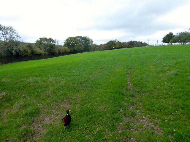
Image: © Simon Carey Taken: 26 Oct 2022
The name of the field according to Warbleton's 1838 tithe map located to the west of Grovelye Farm. After the gate, see Image Clive found a way under and has followed me to this field which is probably the extent of his territory as he gave up at this point and let me continue with my journey. See Image for the start of this little tale.
Images are licensed for reuse under creativecommons.org/licenses/by-sa/2.0
Image Location
Latitude
50.940349
Longitude
0.338588