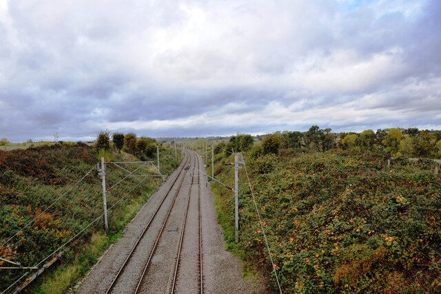
Railway line at Church Brampton
Introduction
The photograph on this page of Railway line at Church Brampton by Bob Walters as part of the Geograph project.
The Geograph project started in 2005 with the aim of publishing, organising and preserving representative images for every square kilometre of Great Britain, Ireland and the Isle of Man.
There are currently over 7.5m images from over 14,400 individuals and you can help contribute to the project by visiting https://www.geograph.org.uk

Image: © Bob Walters Taken: 24 Oct 2022
Looking northwest from the railway bridge near Church Brampton. There used to be a station here, on the other side of the bridge, but it was only open from 1912 to 1931, built to serve the new Northamptonshire Golf Club nearby, but little used. To the south of the road there is a row of houses named Railway Cottages which once were occupied by railway track workers. Indeed, they are called Fog Cottages on old maps, this presumably referring to the railway workers second occupation as 'fogmen' who were stationed along the track in foggy weather to lay detonators and help signal trains when the normal signals were difficult to see.

