Lane at Chandler's Cross
Introduction
The photograph on this page of Lane at Chandler's Cross by Trevor Rickard as part of the Geograph project.
The Geograph project started in 2005 with the aim of publishing, organising and preserving representative images for every square kilometre of Great Britain, Ireland and the Isle of Man.

There are currently over 7.5m images from over 14,400 individuals and you can help contribute to the project by visiting https://www.geograph.org.uk
Lane at Chandler's Cross
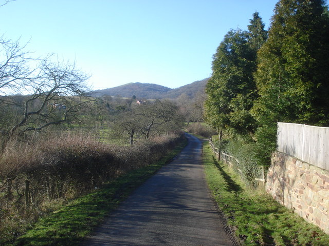
Image: © Trevor Rickard Taken: 30 Jan 2008
View south-west towards Raggedstone Hill. The orchard to the left is rather old.
Images are licensed for reuse under creativecommons.org/licenses/by-sa/2.0
Image Location
Latitude
52.04048
Longitude
-2.328862