Sandbach House, Crewe Road
Introduction
The photograph on this page of Sandbach House, Crewe Road by Stephen Craven as part of the Geograph project.
The Geograph project started in 2005 with the aim of publishing, organising and preserving representative images for every square kilometre of Great Britain, Ireland and the Isle of Man.

There are currently over 7.5m images from over 14,400 individuals and you can help contribute to the project by visiting https://www.geograph.org.uk
Sandbach House, Crewe Road
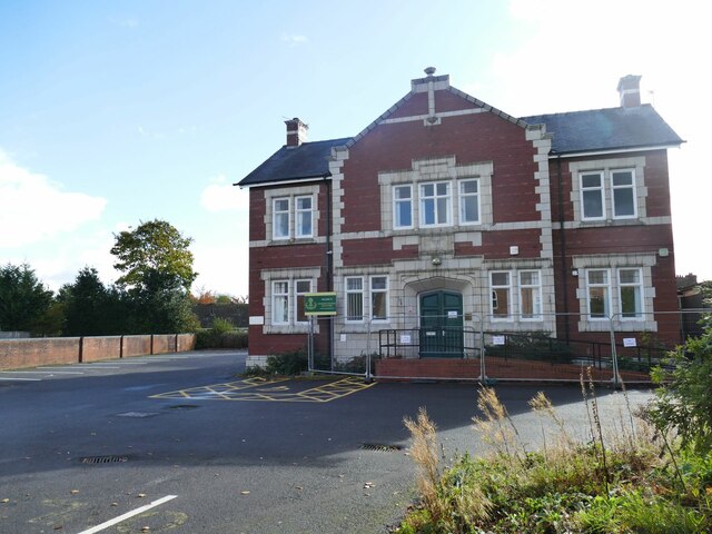
Image: © Stephen Craven Taken: 15 Oct 2022
Formerly offices of the Sandbach Urban District Council. A planning application search shows that the property, then known as Woodlands, was refused an application in 1983 for demolition and building of flats. More recently it was used by Cheshire East Council (Care Services) but now by Sandbach School (boys' secondary school) for their sixth form.
Images are licensed for reuse under creativecommons.org/licenses/by-sa/2.0
Image Location
Latitude
53.14306
Longitude
-2.367129